The Great Salt Lake Is Becoming Too Salty to Support Life
From brine flies to brine shrimp to eared grebes to pronghorn and buffalo, the lake supports an exquisite ecosystem whose collapse is literally making people sick.
Salt Lake City, Utah—Antelope Island, the largest island in Utah’s Great Salt Lake, has not been an island for many years; indeed, its southern shore now extends into Salt Lake City. An eight-foot fence has been built to keep the island’s bison from roaming into the nearby airport and to protect its herd of bighorn sheep from cattle diseases. As the lake shrinks, Farmington Bay, to the island’s east, is rapidly disappearing too, so that Antelope will soon be attached to the string of suburbs north of the city by playa—the exposed, dry lake bed. Here, new housing developments, each near bright white churches and with names like “Shoreline,” rise up quickly on the former wetlands. A new highway is under construction to funnel commuters to downtown Salt Lake City. Toxic algal blooms and invasive phragmite have appeared around the outflow pipes from the North Davis Sewer District wastewater treatment plant, which now flow directly into the shallows of Farmington Bay. The new pipe will funnel treated wastewater to the far side of the island, in the hope that deeper, saltier waters will dilute the sewage.
Last November, the Great Salt Lake, the largest saline lake in the Western Hemisphere, reached its lowest water level ever recorded—and its highest concentration of salt. A toxic lake bed is emerging from the receding water as the suburban sprawl inches ever closer to meet it. At the shore of Antelope Island, where the briny water of the lake laps against land, Utah’s water issues also become air issues. “It’s like a bathtub, or a toilet bowl, with no drain,” Molly Blakowski, PhD candidate in the Department of Watershed Sciences at Utah State University, said of the lake. What we discard into the watershed ends up in the lake—and, increasingly, our air.
Since Mormon settlers arrived in 1847, the lake has been used as both a dumping ground and a source of profit from mineral extraction and brine shrimp harvesting. There is still money to be made from the lake’s water. But there’s no plan to protect the health of the 1.2 million people who live in the Salt Lake Valley and the hundreds of thousands more expected to arrive—let alone the tiny brine flies that uphold a vibrant ecosystem that extends far across the American West. And those at greatest risk are those who won’t be able to leave.
Starting out from Utah’s state capitol (which sits on a hill facing Temple Square), we made our way to I-15 and drove north past a hillside sliced like a massive ham, with a billboard advertising Lakeview Rock Products. Red earth was exposed several stories high; the lake was nowhere to be seen. “This [dust from the quarry] blows like crazy into Bountiful [a suburb of Salt Lake City],” Kevin Perry, an atmospheric scientist at the University of Utah, told me. Across the highway was a tangle of pipes and smokestacks: Chevron’s Salt Lake Refinery, one of the largest oil refineries in Utah. Tents and trailers dotted the steep hillside above the highway, where people had been driven to escape Salt Lake City’s ban on camping and its aggressive sweeps of homeless encampments. “People ask where not to live. Here, between the quarry and the refinery,” Perry said. Those on “the mountain,” as it’s known, are the first to breathe the toxic air.
On a mid-April afternoon, we were heading to Antelope Island, where Perry was meeting a film crew from Barcelona for a demonstration of dust sampling. “We saw our dust storm yesterday. I didn’t know it could rain mud!” Perry said. He told me that he measured dust storms by the number of cars in line outside nearby car washes. He’d left his Subaru unwashed so he could show the film crew the effect.
Perry is a Kansan who has a habit of punctuating his descriptions of dust geochemistry with the phrase “sort of thing.” After research stints in Washington and California, he moved to Salt Lake City because it’s “a good place to study air pollution.” Since he published the results from the Great Salt Lake Dust Plume Study in 2019, he’s been averaging two interviews a week. He was the first in his family to go to college; his father had been an elementary school janitor until he retired recently, at 80. “If I can’t explain my science to my dad, then what’s the point?” Perry said.
I’d arrived in Salt Lake City in the fall for a job at the University of Utah. I was bewildered by the wideness of the roads, the street addresses—strings of numbers indicating one’s precise location with respect to Temple Square—and where to find a bottle of wine. But I was enchanted by the pink morning light on the Wasatch Mountains as I biked my way to work, though I wasn’t sure how to discern if it was one of Salt Lake City’s frequent bad air days, when it is healthier to stay inside.
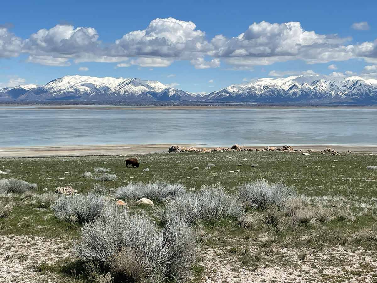
On Antelope Island, bison grazed on the rabbitbrush near the Visitor Center, and behind them, the snow on the Wasatch Mountains gleamed in the startlingly sharp sunlight. It had been a long winter. As we turned into White Rock Bay to meet the film crew, a coyote with a glossy auburn coat trotted through the grasses nearby.
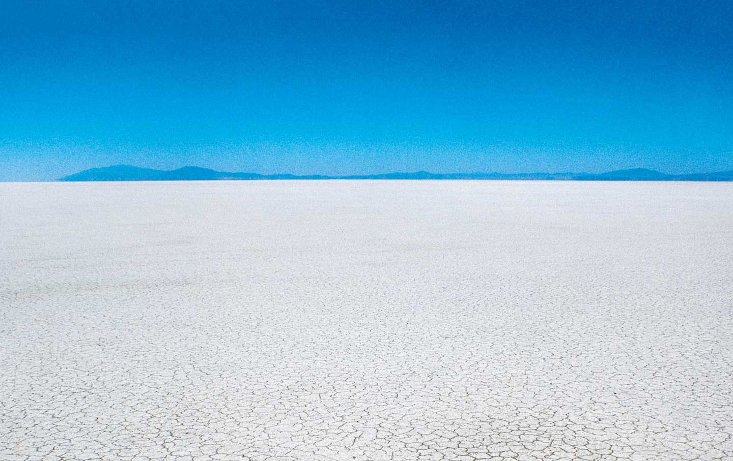
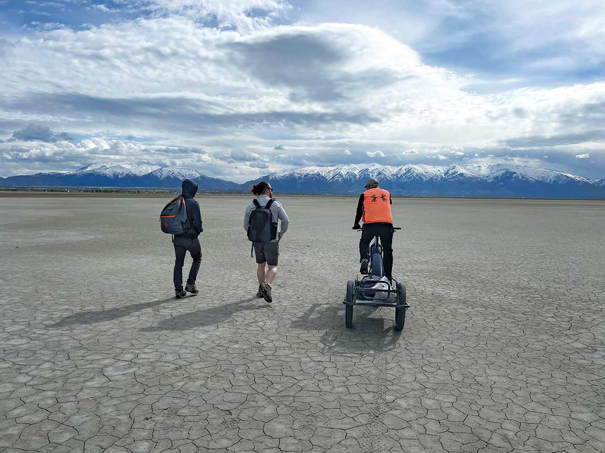
For three years, Perry systematically surveyed 800 square miles of playa—an area about the size of Maui. To minimize erosion of the lake bed’s fragile crust, he traveled by bicycle—first on “the Tank,” a steel bike that rusted through, and then “the Lamborghini,” a fat-tire carbon fiber bike, which he was riding for the film crew. On this day, he pedaled out onto the sandy playa of White Rock Bay, trailer behind him, and stopped to scoop up a Ziploc bag’s worth of the lake bed with a trowel. Though the sand was still damp from a recent rain and wasn’t producing dust, we stood on what was likely a so-called dust hot spot: the 9 percent of the playa that’s unprotected by plants or crust and therefore susceptible to wind erosion. The dust from such hot spots, he said, “will blow off the lake and be in someone’s backyard in five minutes.” Breathing in particulate matter is harmful in itself, but the more than 5,000 dust samples Perry collected contained arsenic, lithium, and other elements at levels deemed dangerous by the Environmental Protection Agency. Since Perry completed his study in 2018, the playa has grown by 100 square miles.
While Perry had sought funding to study the lake’s dust for years, the Dust Plume Study launched unexpectedly when the state’s Division of Facilities, Construction, and Management approached him in June 2016. The Utah Legislature had voted the previous year to move the state prison from the Point of the Mountain, a pass through the Traverse Mountains in the wealthy city of Draper, to the lake’s wetlands south of Farmington Bay. Perry was asked to measure heavy metals in the exposed lake bed near the proposed prison site, to determine whether the dust would pose a “unique hazard” to the over 2,400 people who would be incarcerated there.
The state planned to purchase the property in October 2016, which gave Perry four months to collect dust and analyze its contents. A week after the funding had been secured for the study, Perry told me, lawyers working on the project were fired for raising questions about the state’s liability for putting people at risk in the new prison. “I had the most hostile project manager I’ve had in my life,” Perry recalled, adding that “I gave my final report, and the project manager took the report, dropped it in the trash. They didn’t care. They were going to purchase this anyway.”
Perry’s data couldn’t demonstrate that the Great Salt Lake dust on its own would pose a “unique risk” to the prison—a dust storm coming off the playa would affect everyone in the Salt Lake Valley—but the site was four miles north of a huge tailings pile from the Kennecott Copper mine, the largest open-pit mine in the world.
Popular
“swipe left below to view more authors”Swipe →“They didn’t ask me to look at the impact of the Kennecott tailings on the prison—I did anyway!” Perry said. Kennedie Wilding, a University of Utah sophomore who worked with Perry, found that the tailings pile contained levels of copper, cobalt, lead, and arsenic far higher than what was in the lake bed and that it produced very fine dust that could penetrate deeply into the lungs. Meanwhile, Perry’s wind monitors reported stronger winds at the state prison site than elsewhere, mostly coming from the south, and he also found that dust in the lake bed just north of the site was rich in a host of metals that had probably blown there from the tailings pile, through the proposed prison grounds, and to the lake.
The new prison opened last summer. Soon after, reports of mosquito infestations there appeared in The Salt Lake Tribune. “The prison couldn’t be in a worse location. There’s dust from the lake, dust from the Kennecott tailings pile. It’s near the Inland Port with its high diesel emissions, in the wetlands, with mosquito problems that you wouldn’t believe,” Perry said.
“It’s the convergence of all these sources of pollution—the worst possible place you could put people,” said Ruhan Nagra, director of the Environmental Justice Clinic at the University of Utah S.J. Quinney College of Law. “But,” Perry added, “they got a beautiful property in Draper,” now the site of one the largest developments in the country, advertised as what will become Utah’s “fifteen-minute city.”
The prison move was spearheaded by State Representative Brad R. Wilson, a developer who, while serving as cochair of the Prison Relocation Commission, was building townhouses a mile from the old state prison, the Tribune reported. Wilson claimed there was no conflict of interest because he’d sold his properties before the commission announced its recommendation to move the prison.
Though climate change is partly responsible for the lake’s decline, 70 percent of its loss of water is due to human overuse, according to the Great Salt Lake Strike Team, a group of academics and government employees who made recommendations for the 2023 session of the Utah Legislature. “This is a good and a bad thing. The future of the Great Salt Lake is within our power to fix,” Perry said.
Farms divert water from the lake’s major tributaries—the Bear, Weber, and Jordan rivers—and are responsible for more than 60 percent of the lake’s decline. Alfalfa farms consume much of this water; much of their crop is then sold abroad. Farming is both the most obvious place to conserve water and the one that poses the greatest political difficulties.
Four companies—Compass Minerals, U.S. Magnesium, Morton, and Cargill—are responsible for another 8 percent of the lake’s decline. Their networks of solar evaporation ponds are as crude as they sound: Lake water is siphoned into shallow pools, and then the sun does its work, leaving behind a lake brine rich in valuable salts and minerals, including lithium. “They have the water rights,” Perry explained. But these companies aren’t just extracting water. A recent National Oceanic and Atmospheric Administration study found that plumes from U.S. Magnesium were responsible for a significant fraction of the fine particulate pollution in the Salt Lake Valley.
Another 18 percent of the lake’s depletion is due to urban water use—and, of course, there is much potential for conservation on the part of households and businesses. Utahns, it’s often said, don’t live like they’re in the desert: According to the state’s Department of Natural Resources, for instance, 60 percent of residential water use is for lawns.
While the Great Salt Lake’s decline is recent—in 20 years, it has dropped more than 10 feet from its long-term mean elevation—the lake hasn’t been healthy for some time. It is unsettlingly two-toned: a murky pink to the north, green-blue to the south. A 12-mile railroad track slices the lake in two. In 1902, what was then the Southern Pacific Railroad built a bridge on wooden trestles across the lake, as a shortcut to California. In the 1950s, the bridge was rebuilt with rock, creating a causeway that severs the lake’s North Arm from its major sources of fresh water. As a result, the North Arm has grown increasingly salty and hostile to most life, except for microorganisms like halobacteria and red algae that thrive there and give it its color.
Openings in the causeway that allow water to flow between the North and South Arms are tightly controlled by the Great Salt Lake Salinity Advisory Committee, which includes representatives of Compass Minerals, U.S. Magnesium, and the Great Salt Lake Brine Shrimp Cooperative (which is not, in fact, worker-owned). This February, Utah’s governor, Spencer Cox, issued an executive order to raise the berm in order to capture spring runoff from the winter’s record-breaking snowpack, to stave off ecological collapse.
The Strike Team, echoing the calls of local activists, recommended that the Legislature set a minimum lake elevation, an essential first step in protecting the lake. Yet a bill to set a nonbinding minimum elevation failed to pass out of committee, and several other water conservation measures also failed.
“I’m going to governor-splain,” Cox told a room full of scientists and activists at the University of Utah Law School’s symposium on the lake’s future, shortly after the legislative session had concluded. His message seemed to be that scientists had not been communicating well. “When we tell people that the sky is falling, what most people do is they give up…. If we’re all going to die from toxic dust, then I’m just gonna go ahead and water my lawn.”
Two days earlier, the Church of Jesus Christ of Latter-day Saints had announced a donation of 20,000 acre-feet of water to the lake, enough to fill about 10,000 Olympic swimming pools. Cox publicly thanked the church for its “generous donation,” and Representative Wilson called it “beyond incredible.” But the Strike Team had estimated that approximately 1.5 million acre-feet of additional water per year for the next five years would be required to fill the lake to a healthier elevation. “If your reaction to the Church of Jesus Christ of Latter-day Saints donating a historic amount of water was ‘Yeah, that’s a drop in the bucket, they can do more,’ then you have the wrong message,” Cox continued. “These are moments we should celebrate.” In 2021, he had asked his constituents to pray for rain. “When I asked the people of our state to join in faith and prayer in asking God to help relieve us of this terrible drought…I was a little shocked at the amount of pushback and mocking,” he recalled. Cox also dismissed the idea of setting a minimum lake elevation. “The lake has never been at the average lake level,” he said. “Incremental change is the only way to get change.”
“He didn’t seem to read the room,” one scientist said to me after Cox’s speech.
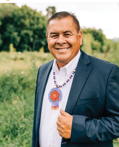
voices have long been disregarded. (Courtesy of Darren Parry)
What is now a source of dust has long been a source of medicine, Darren Parry, former chairman of the Northwestern Band of the Shoshone Nation, told me. “People have been using the healing properties of the lake for centuries—the Shoshone, Goshute, and Fremont people…. [The lake] was our grocery store, our place to go to heal,” Parry said. Yet “in all these commissions [and] boards, the Native American voice is absent, still. That bothers me more than anything else. It’s a perspective we can all learn from.”
Utah’s water rights are based on what’s known as the doctrine of prior appropriation: “First in time is first in right,” which is taken to mean that those who began using the water earliest and who continue to use it hold the water rights. In seven words, the law erases thousands of years of human history and Indigenous water use in Utah. “Water rights were always for a specific group of people,” Parry said, meaning the state’s white settlers. “We got trapped in the system because water has been given out like it was a resource that would always be there.”
Two of California’s saline lakes—Owens Lake and Mono Lake—are often pointed to as alternative futures for the Great Salt Lake. Owens Lake (the subject of the movie Chinatown) has been mostly dry since 1913, when the Los Angeles Aqueduct opened, siphoning the lake for the city’s drinking water. Since then, the lake bed, which could fit into the Great Salt Lake’s Farmington Bay, has been one of the most significant sources of dust pollution in North America, creating huge clouds of dust and large-particulate-matter pollution. The Los Angeles Department of Water and Power was found responsible for depleting Owens Lake and causing air quality violations. Since then, the LADWP has spent more than $2 billion on a series of engineering fixes, such as tilling and planting the lake bed or coating it with gravel, with limited success—all paid for by LA residents via their water bills. The best way to limit dust, the department found, is through shallow flooding, putting water back on the dry lake bed.
In the 1970s, Mono Lake was also rapidly shrinking because of diversions by the LADWP. But community activists, led by the Mono Lake Committee and the National Audubon Society, sued the department and won a landmark case in the California Supreme Court, which ruled that the lake was a shared resource held in the public trust and that the state was thus obligated to protect it. In 1994, a minimum elevation for Mono Lake was established.
The success of the Mono Lake Committee inspired the formation of FRIENDS of Great Salt Lake. “We can learn from others how we can avoid those mistakes, how we can maintain the system and the value that it provides by keeping water in it,” FRIENDS executive director Lynn de Freitas (who signs her e-mails “In saline and solidarity”) told me.
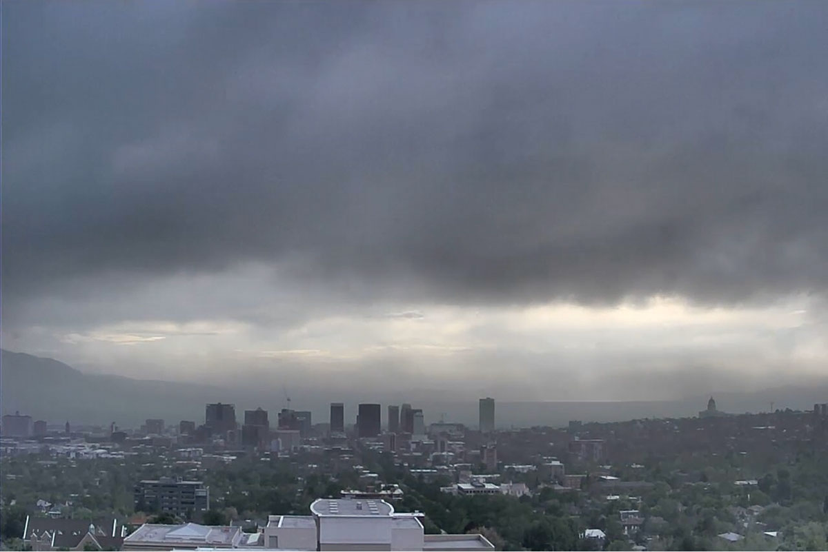
“We have four seasons now—inversion, ozone, wildfire, and, increasingly, dust season,” said Daniel Mendoza, an atmospheric scientist at the University of Utah. The same topography that collects water from a wide watershed also traps air above the Salt Lake Valley. Pollution, including dust, doesn’t fall evenly across the city. Polluters—at least those with EPA permits—are concentrated on the west side of Salt Lake City, where the new state prison was built. Several studies have reported higher levels of ozone and other air pollution, as well as heat, on the west side, where redlining has concentrated many communities of color. “If the Great Salt Lake continues to shrink, the west side of the valley will see 20 to 50 percent more dust than the east side,” said Derek Mallia, also an atmospheric scientist at the University of Utah, who models the sources of dust falling on the Salt Lake Valley. “The east side will see increases in dust as well.”
At first glance, the data appear to show that Utah’s air quality has improved, but dust storms are considered “exceptional events” and thus are excluded from certain air quality metrics. This means Utah can meet EPA air quality standards even during dust storm season. “If you can see it but can’t measure it, there’s a problem,” Kerry Kelly, a University of Utah chemical engineer, said of the dust.
Walking east along the Union Pacific Railroad causeway that slices the Great Salt Lake in two, I noticed that the lake’s southern waters were aquamarine under the snow-covered Wasatch Mountains, and an eerie pink beneath the steel-gray Promontory Mountains to the north. I mentioned the possibility of lake monsters, and Alex Phillips, a microbial ecologist at Duke University, said he sometimes saw deep red biofilms in the North Arm, large shapes under the water.
I was tagging along with researchers working with the Great Salt Lake Institute at Westminster University in Salt Lake City. To reach the causeway, we took I-80 around the southern end of the lake, past the Kennecott Smelter, a 1,200-foot-tall smokestack I can see from my office across the valley; through Skull Valley and Delle (where bumper stickers read “I’ve Been to Delle and Back!”); and then veered north into the Utah Test and Training Range, owned by the Department of Defense. Phillips, who was driving, told us not to step off the road because there was unexploded ordnance in the basalt-strewn hills. This was the only part of the lake Perry was unable to get to on his bike—the Defense Department had escorted him on ATVs. The lake bed here, he’d found, was rich in zirconium and phosphorus, likely contamination from ammunition and explosives. As we descended the long gravel road to the lake, a group of pronghorn bolted off, zigzagging between the bushes.
A smaller lake is also a saltier one, and these twin changes come with steep ecological consequences. Last fall, when the water level dropped to a record low, the lake’s South Arm reached 19 percent salinity, the highest ever recorded. (The oceans are just 3.5 percent saline.) Even halophiles—species exquisitely evolved to thrive in salty environments—have limits. And last September, there were “no flies on the beaches where there should’ve been a cloud. No flies means very few birds,” said Cora Rasmuson, a rising senior at Westminster University and a member of the Great Salt Lake Institute’s Team Fly.
Brine flies, along with brine shrimp, are the lake’s keystone species, feeding the 10 million birds a year that pass through along the Pacific Flyway or that stay on to breed or overwinter at the lake. While the brine shrimp population is closely monitored by the companies that harvest and sell them as fish food around the world, much less is known about the flies.
Brine flies feed and metamorphose on underwater microbialites: mats of bacteria and algae that form structures that look like lush, green underwater ottomans. Microbialites form in the lake’s shallows, where the sunlight is most intense. As the lake’s elevation drops, microbialites—which can take thousands of years to form—are beached and dry out. On the north side of the railroad causeway, we waded through a “microbialite graveyard,” rocky vestiges from a time when the lake was undivided that had since lost their mats of photosynthetic cyanobacteria. Instead of water rich with brine flies and brine shrimp, a few dead crickets floated by, and shallow pools between the microbialites were cloudy with salt.
This spring, Team Fly’s Rasmuson and Carly Biedul had been out on foot and in kayaks looking for brine flies. Instead of finding them in the usual hot spots at the Great Salt Lake Marina, Antelope Island, and Gillmor Sanctuary, they found more microbialite graveyards. Biedul, the Great Salt Lake Institute coordinator, hoped to list the brine flies on Utah’s Species of Greatest Conservation Need. But to do so, she needed data demonstrating the collapse. Aside from stories of fly-covered beaches, there was no information on their populations over time, or much information at all.
Finally, in June, the flies appeared. They were months late, perhaps because of the long winter, but whether the flies had fully rebounded from their disappearance the previous fall was unclear.
“The importance of the Great Salt Lake ecosystem can’t really be overstated,” Bonnie Baxter told me. In 2020, Baxter, a biologist and director of the Great Salt Lake Institute, and her then-colleague Jaimi Butler, had written “Obituary for the Great Salt Lake.” Baxter hadn’t realized how the experience of carefully documenting a system in peril had affected her until she began talking to other climate scientists. “It snuck up on me. I was trained as a biochemist,” she said.
It was my first winter in Utah, and I was told that it was a strange one. The snow arrived abruptly, in October, and I found myself walking across campus in a blizzard on April 4. The incredible snowfall was good news for the lake—boats are being brought back to the once-dry marina—but it is not nearly enough. By late June, the lake had risen to its summer peak of 4,194 feet and then began to decline again, the effect of summer in the high desert. “We need to be 11 feet up,” Baxter said at the People’s Great Salt Lake Summit in July. “Are we going to get 11 winters in a row like this? Absolutely not.”
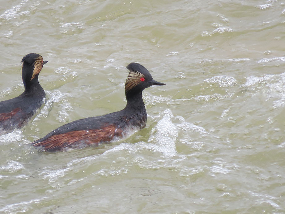
On a recent Sunday evening, mixed flocks of eared grebes and red-necked phalaropes dotted the water’s surface just south of the Antelope Island Causeway, where last fall there had been only playa. Bryant Olsen, a conservation ecologist at Tracy Aviary, and Max Malmquist, from the National Audubon Society’s Saline Lakes Program, estimated there were at least 20,000 of each species floating in front of us.
The eared grebes—shorebirds with bright red eyes decorated by a splash of yellow feathers—“probably just flew 1,000 miles. There’s not a lot of places to stop between here and the Sea of Cortez,” Olsen said. More than 90 percent of the global population of eared grebes, an estimated 2.8 million birds, stop at the Great Salt Lake during their fall migration. Their muscles weaken and they become flightless, trapped at the lake for several months to feed on brine flies and shrimp, storing fat reserves. During this critical staging period, when the birds have lost the capacity to forage elsewhere, the loss of brine flies and shrimp could be devastating. “It’s all unprecedented territory. We’ve never been here. Can they recover?” Malmquist said.
Suddenly, a cloud of phalaropes lifted off the water, the rays from the setting sun reflecting off their white bellies. Together, they turned and became silhouettes, moving like smoke between the ridgeline of the Wasatch Mountains above them and the mountains’ reflection in the glassy water below.
More from The Nation

AI Data Centers Are Just the Tip of the Iceberg AI Data Centers Are Just the Tip of the Iceberg
These destructive behemoths are part of a broader model of total extraction—particularly in rural areas.
Will Climate Voters Turn Out in Pennsylvania? Will Climate Voters Turn Out in Pennsylvania?
Interviews across this crucial swing state offer lessons for Democrats hoping to flip the House.
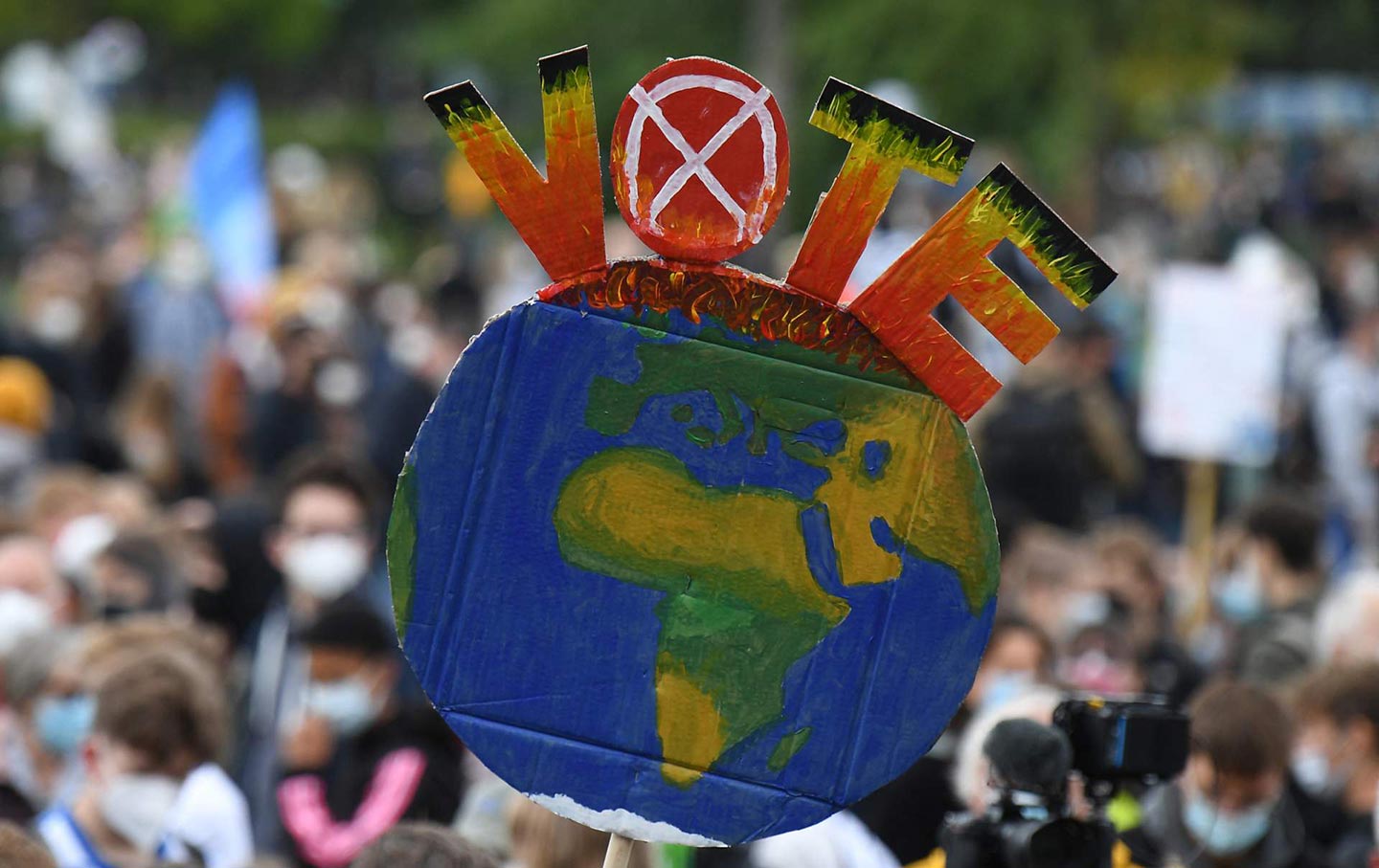
Gen Z Thinks About Climate Change Constantly. Why Don’t They Vote Like It? Gen Z Thinks About Climate Change Constantly. Why Don’t They Vote Like It?
High cost of living and political turmoil are forcing climate change to the back burner, exposing a massive voter turnout problem for the environmental movement.
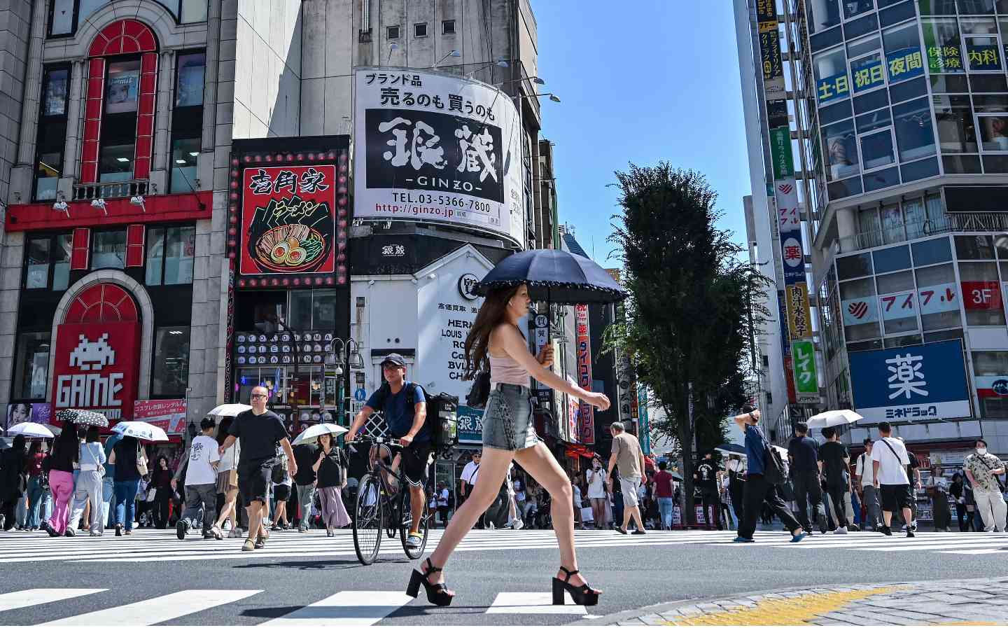
How Japan’s Media Ecosystem Is Fighting Climate Change How Japan’s Media Ecosystem Is Fighting Climate Change
Hundreds of outlets across the country have joined the “I am the 89%” campaign.
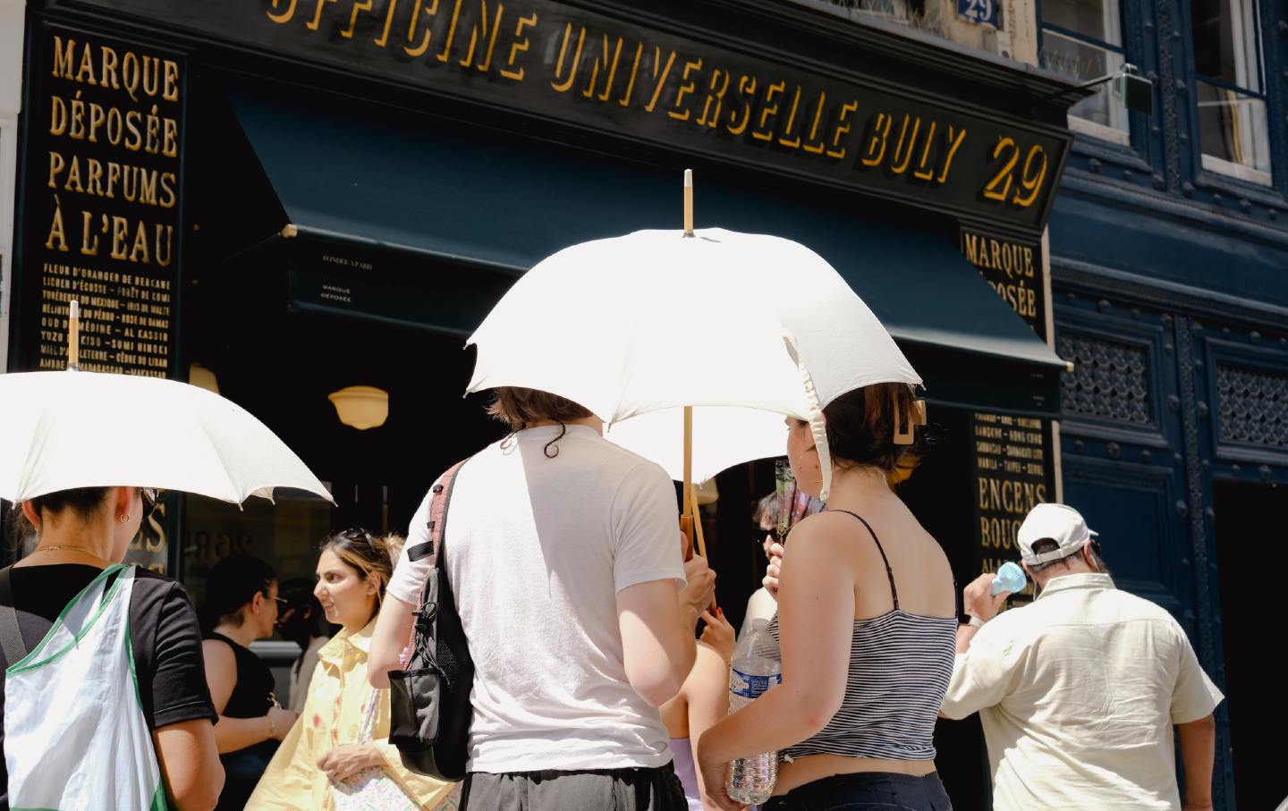
France’s Heat Shock France’s Heat Shock
A historically hot summer is revealing a society massively unprepared for the new climate reality.

This Heat is Fatal. We Need to Talk About it. This Heat is Fatal. We Need to Talk About it.
“When people die during heat waves, there’s no sort of gunshot wound.”